Banner
Sidebar Widgets

Contact

Melissa Hetrick
Resilience Program Supervisor
(805) 991-2447
MHetrick@SantaBarbaraCA.gov

Submit Comments To:
CreekBuffers@SantaBarbaraCA.gov

Body

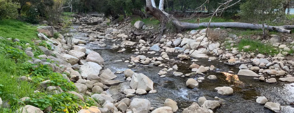
Development buffers along creeks are required by the City’s General Plan, by the City’s Coastal Land Use Plan, and for compliance with the California Environmental Quality Act. Buffers between structures and creeks are important to reduce public safety risks associated with erosion and flooding. Additionally, buffers protect creek side habitats, preserve scenic beauty, and enhance water quality in our creeks and ocean.

For much of the City, specific requirements for development buffers are currently determined on a case-by-case basis. The lack of clarity often leads to prolonged development application reviews, costly analysis, and inconsistent outcomes over time.

To streamline permit application reviews and provide clarity to applicants, the City has developed proposed minimum buffers from City creeks that will be applied objectively throughout the City. The ordinance will apply to all portions of the City except the Airport area, where regulations specific to Goleta Slough apply.

Widgets

Proposed Buffers

The proposed minimum buffer widths from new or substantial redeveloped structures are as follows:

Required Creek Buffer Area
Creek TypesBuffer Area
Major Creeks50 feet from top of bank
Flood Control Project Reach35 feet from top of bank
Minor Creeks15 feet from top of bank

These minimum buffer distances were chosen because they reduce safety hazards, can be achieved on most parcels in the urbanized City, align with minimum creek buffers currently required in neighboring jurisdictions, and are consistent with the buffers already required in the coastal zone portion of the City by the Coastal Land Use Plan. In limited cases of severely constrained lots, the proposed ordinance contains a modification process to reduce the buffer distance.

Timeline

1
Draft Ordinance Released for Public Comment

Draft Creek Buffer Ordinance released January 14, 2025 for public comment. Community members are invited to review the Draft Ordinance and submit comments through Monday, March 10, 2025 to CreekBuffers@SantaBarbaraCA.gov

2
Community Open House

City staff will host an Open House on Wednesday, February 5, 2025 from 4:30 PM - 6:30 PM at the Central Library's Faulkner Gallery, 40 E. Anapamu Street.

3
Sustainability Council Committee Review

Sustainability Council Committee review of Draft Ordinance is scheduled for February 6, 2025.

4
Creeks Advisory Committee Review

Creeks Advisory Committee review of Draft Ordinance scheduled for February 19, 2025.

5
Planning Commission Review

Planning Commission review of Draft Ordinance and associated Local Coastal Program Amendment will take place in spring 2025 (date TBA).

6
Ordinance Committee Review

Ordinance Committee review of Draft Ordinance will take place in spring 2025 (date TBA).

7
City Council Review

City Council review of Draft Ordinance and associated Local Coastal Program Amendment will take place in spring 2025 (date TBA).

8
Submittal to California Coastal Commission

Submittal to California Coastal Commission to certify Local Coastal Program Amendment will take place in summer 2025.

Map of City Creeks

This map is for general reference as a screening tool and may not accurately show creeks subject to Chapter 22.26 of the Santa Barbara Municipal Code. The ordinance applies only to drainages that meet the definition of a creek as outlined in the ordinance.